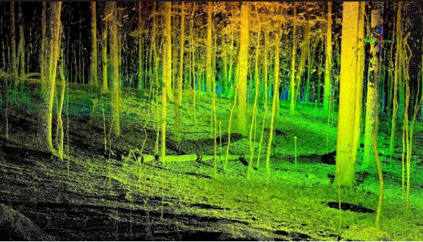
Airborne LiDAR is the fastest growing area within the geospatial market. Able to cover large areas of
land safely and accurately in a matter of minutes, it’s no surprise that LiDAR sensors have been taking to
the sky. An Airborne LiDAR System fixed to a helicopter or aircraft is capable of scanning swathes of land
covering many miles. Airborne LiDAR sensors are typically housed in a lightweight pod which can
accommodate additional equipment, such as an IMU for more accurate data capture and industrial
cameras so high definition photos can be overlaid onto pointclouds allowing the user to produce a more
detailed 3D picture.
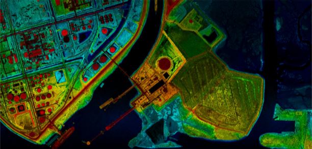
From a robust LiDAR data set, Airborne lasers can create a number of mapping products for its clients:
- Digital Elevation models (DEM).
- Digital Terrain models (DTM)
- Contours of varying intervals.
- Stope maps.
- Planimetric mapping.
- Tree height analysis.
- Cut and Fill modelling.
- Ortho-rectification in combination with imagery.